Education Spotlight

BREVARD COUNTY • MELBOURNE, FLORIDA – An algorithm developed by Florida Institute of Technology graduate student Zachary Ferris has resulted in a new ecological survey method that allows scientists to derive important historical data from vast photographs of coral reefs going back more than a century.
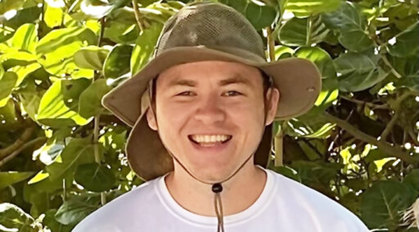
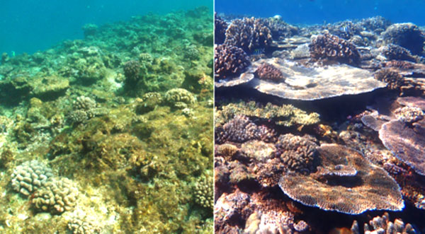
Zachary Ferris, a biological sciences doctoral student at Florida Institute of Technology, led the development of a new computer vision algorithm called ReScape, which removes perspective distortion by converting images of the reef into a top-down view, making every coral the right size for analyzing the reef's condition.
“By restoring corals to their true size, ReScape enables scientists to extract ecological data from countless reefscape images archived over the past 140 years,” said Ferris. “By being able to extract this data, ReScape also enables scientists to use reefscape images to conduct more extensive research, because they can capture much larger reef areas than traditional imaging techniques.”
The research team published their paper, “ReScape: Transforming Coral Reef Landscape Images for Quantitative Analysis,” in the journal Scientific Reports on April 17.
People all over the world take photos of coral reefs, and hobbyist photographers often capture picturesque expanses of coral reef. These countless reef landscape images are the largest source of observed reef conditions, but scientists have not been able to extract data from them until now because perspective distortion makes corals away from the camera appear much smaller than their actual size.
By removing perspective distortions from reef landscape images, ReScape offers the opportunity to uncover vast amounts of historical data on coral reefs around the world.

“The technology behind ReScape was popularized in the autonomous driving industry in the 1990s,” Ferris says, “and for the first time, ReScape brings this technology underwater by integrating new techniques that work without knowledge of the camera's position and orientation when the image was taken.”
The ReScape algorithm was designed by Ferris, Robert Van Wossick, professor and director of the Florida Institute of Geoecology, and Eraldo Ribeiro, associate professor of computer science at Florida Tech. ReScape's development was funded by a National Science Foundation grant to Van Wossick and a National Science Foundation Graduate Research Fellowship to Ferris.
“By sharing their reefscape photos with scientists, hobbyist photographers have a unique opportunity to uncover historical data on areas of the reef where previously no information was available,” Van Woesik said.
“We hope that ReScape will inspire hobbyist photographers to share their coral reef images with scientists and spur new research that fills gaps in our historical and geographic understanding of coral reefs,” he added. “Building a comprehensive understanding of coral reefs is essential to effectively manage and protect these irreplaceable ecosystems in an increasingly challenging world.”
To make ReScape easily accessible to anyone with access to a computer and the internet, the team compiled it as a free, user-friendly app that can be used without any coding experience.
For Brevard County news click here


